Variations
Uneven Symmetry
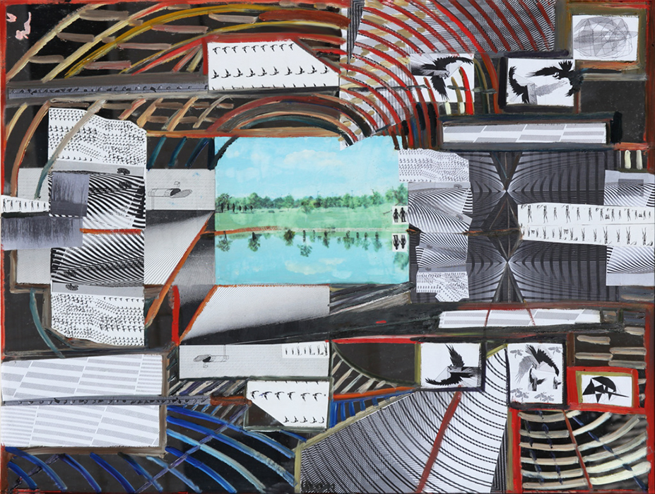
To describe the distinctive nature of a terrain and place it in a wider context, specialists show this terrain on a map that makes a representation of the area and defines its characteristics in either physical or political terms. A map is an abstract, symbolic depiction in two or three dimensions showing accurate geometric relationships in proportion; it may also be interactive. A physical map focuses on the terrain landforms such as mountains, plains, rivers, or deserts, and their natural boundaries, while a political map tells about characteristics established by humans, for example properties, blocks, towns and cities, counties, and states. A map also shows a maze of private, service, business, county, state, and interstate roads, railroad tracks, bridges and viaducts, tunnels, as well as squares, parks, and monuments. A small segment of a map can allow us to imagine what a driver or a cyclist may see in the real terrain.